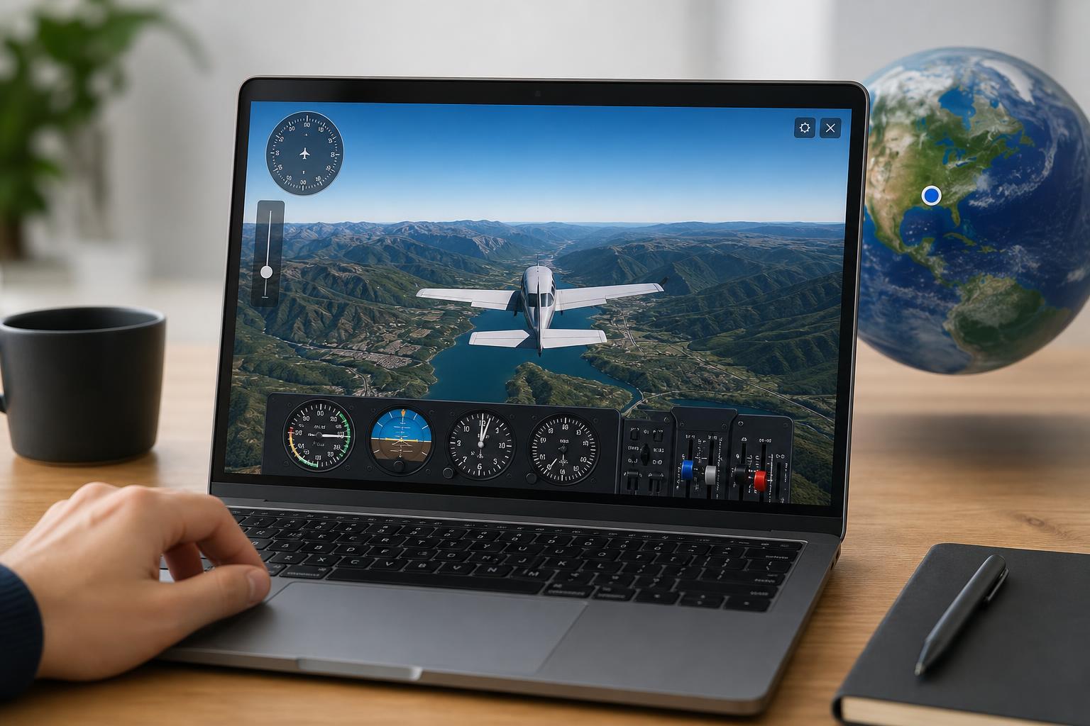
Google Earth includes a built-in Flight Simulator that lets you fly over real-world terrain from a pilot’s view. It is more of a fun feature than a realistic training tool, but it is still a great way to explore the map in a different way and practice basic flight controls.
The simulator works best in the desktop version of Google Earth Pro. Once you know how to launch it and control the aircraft, you can take off, land, and fly around cities, mountains, and airports from above.
What You Need Before You Start
- Google Earth Pro installed on Windows, macOS, or Linux
- A keyboard and mouse for easier control
- An internet connection if Google Earth needs to load map data
- Optional: a joystick or game controller, depending on your setup
How to Open the Flight Simulator
- Open Google Earth Pro.
- Click the Tools menu at the top of the window.
- Select Enter Flight Simulator.
- Choose either an airplane or a helicopter if the option is available in your version.
- Pick your starting location, then confirm to begin.
Keyboard Shortcut to Launch It
If you want a faster way to start the simulator, use the built-in shortcut. In many versions of Google Earth Pro, pressing Ctrl + Alt + A opens the Flight Simulator window on Windows and Linux, while Command + Option + A is used on Mac.
Choosing Your Starting Point
Google Earth may let you start from your current view, from an airport, or from a random location. Airports are usually the easiest choice if you want to learn the controls, because you can begin on a runway or near a flat area with plenty of open space.
Basic Flight Controls
The Flight Simulator uses simple keyboard controls, but they can feel awkward at first. It helps to think of the controls in terms of pitch, roll, yaw, and throttle.
- Arrow keys or the equivalent controls are commonly used to pitch the aircraft up or down and bank left or right.
- The rudder or yaw controls help you turn the nose left or right.
- Page Up and Page Down are often used for throttle control.
- The spacebar or other assigned key may be used to pause or reset, depending on the version.
How to Take Off
- Line up the aircraft with the runway.
- Increase throttle slowly.
- Keep the plane centered as speed builds.
- Gently pull back to lift off once you have enough speed.
- Make small corrections instead of large movements, since overcorrecting can make the aircraft unstable.
How to Land
Landing is usually the hardest part of the Flight Simulator. The main goal is to line up with the runway early, reduce speed gradually, and keep the aircraft steady on approach.
- Find the runway well before you descend.
- Lower throttle and begin a gentle descent.
- Keep the aircraft aligned with the runway centerline.
- Reduce speed as you get close to the ground.
- Touch down softly and avoid sharp steering movements after landing.
Helpful Tips for Better Control
- Use small adjustments instead of holding keys down continuously.
- Pick wide open areas while you practice.
- Zoom out occasionally so you can see your position relative to the runway or terrain.
- If the aircraft drifts, correct gradually instead of fighting the controls.
- Practice flying straight before trying tight turns or complex landings.
Common Problems and Fixes
If the Flight Simulator does not appear, the most common cause is using a version of Google Earth that does not support it. The browser version is the usual source of confusion, since the simulator is tied to Google Earth Pro on desktop.
- Make sure you are using Google Earth Pro, not the web version.
- Check that you are opening the Tools menu in the desktop app.
- If the shortcut does nothing, try the menu command instead.
- If controls seem unresponsive, click inside the simulator window so it has focus.
- If map data looks incomplete, wait a moment for the terrain to load.
What the Flight Simulator Is Good For
Google Earth’s Flight Simulator is not a full simulator with detailed avionics or realistic training features, but it is excellent for casual flying and visual exploration. It is especially useful if you want to see real landscapes, cities, and landmarks from a pilot’s perspective without leaving Google Earth.
A Quick Way to Get Comfortable
The easiest way to learn is to start at a large airport, take off, fly in a straight line for a short distance, then practice gentle turns and descent. Once you can hold altitude and line up with a runway, the rest becomes much easier.